Aaron Meisner, NOIRLab
November 17, 2020
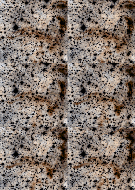
It’s remarkable to think that our DESI Legacy Surveys team completed on order a thousand nights of ground-based observing from Kitt Peak and Cerro Tololo. All the while in low-Earth orbit, NASA’s WISE satellite has been steadily and reliably amassing nearly a decade of full-sky data at infrared wavelengths of 3-5 microns. WISE continuously obtains a new pair of degree-sized images every ~10 seconds, observing around the clock.
Selection of DESI’s luminous red galaxy and quasar targets requires not only optical data from telescopes like the Mayall and Blanco, but also infrared fluxes from WISE. It’s therefore crucial that DESI target selection make full use of the entire WISE data set. Once each year, we download millions of recently acquired raw WISE images to NERSC and use these to update DESI’s custom, coadded WISE maps. As of DR9, the raw WISE data set assembled at NERSC has grown to a quarter petabyte in size! Each year, upon completion of our latest WISE map-making efforts, we can once again declare that DESI has created the deepest ever full-sky maps and catalogs at mid-infrared wavelengths. DR9 incorporates seven years of WISE observations, versus five years for DR8 and just one year for DR1.
WISE has scanned the entire sky more than a dozen times, lending a strong time-domain component to the Legacy Surveys data products. Our Legacy Surveys WISE light curves for ~2 billion sources represent a totally unprecedented and as-yet little explored data set. Mining DR9’s infrared data products, especially in combination with optical Legacy Surveys photometry and DESI spectroscopy, will provide a diverse array of scientific opportunities throughout the coming years.
